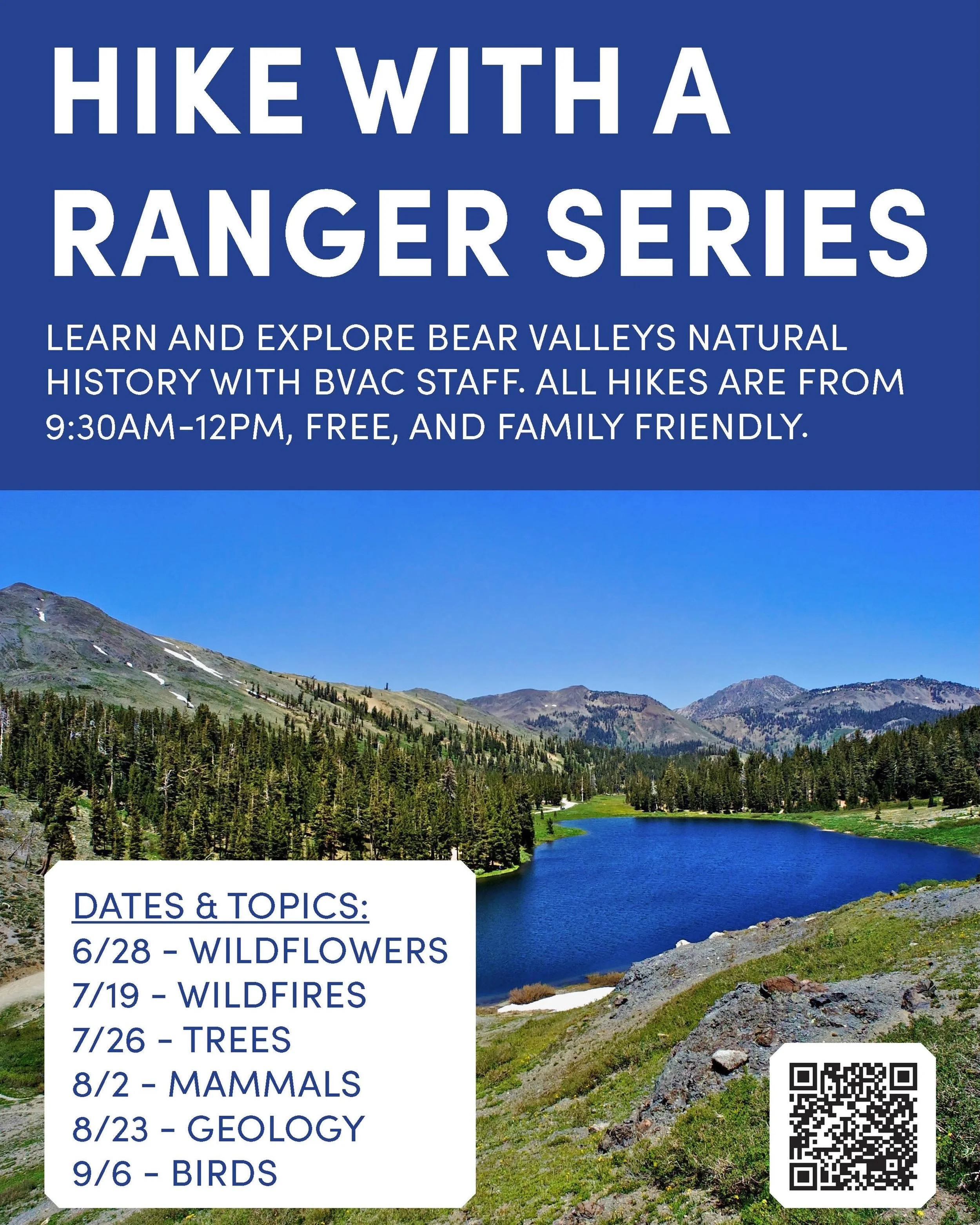
Bear Valley natural history Tour

Click map to enlarge
Welcome to the Bear Valley Natural History Tour. This adventure is designed for cross country skiers and snowshoers and follows beginner trails in the meadow. This tour can be done in succession or in any arrangement that works for you. The red route on the map is approximately 3 miles or 5 kilometers in length.
STATION A: MAMMALS
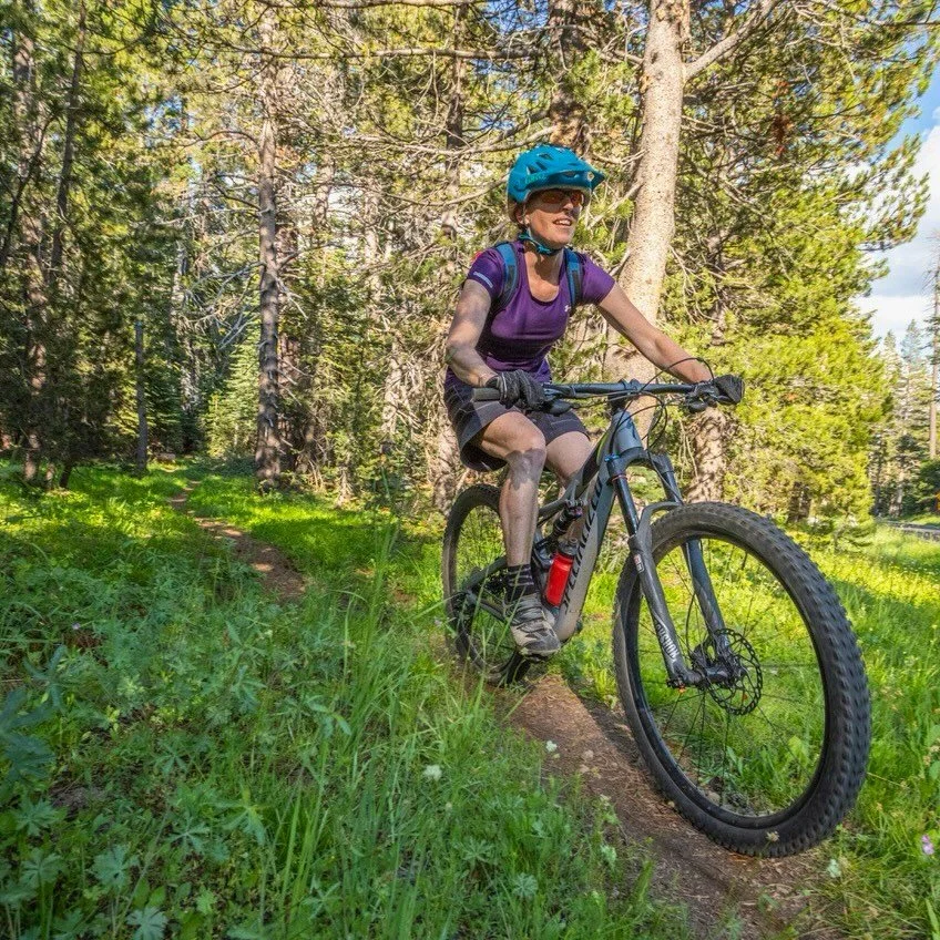
This is Bear Valley and everybody wants to know where the bears are. The original name was Grizzly Bear Valley, but that species has not been here for more than one hundred years. The California Black Bear is still around, and you might run across their tracks in the snow during Spring. Sometimes they make an appearance at the garbage dumpsters and one local resident was barely awake one night some years ago when he discovered a black bear in his bedroom. Coyotes wander on and off the winter trails through the meadow, surrounding forests and the edges of Bear Valley Village, often calling to each other at night. The California mule deer come up to the higher elevations during the summer. There are plenty of squirrels and chipmunks, mice and voles. A cat-sized member of the weasel family, the Pine Marten is occasionally seen on the trails, chasing snowshoe hares.
STATION B: SIERRA CROSSINGS
Bear Valley was the best passage through the area during the 19th century. There is a plaque on a boulder along Station House Road, the frontage road next to Highway 4, across from the Meadow that mentions many early travelers and some that stayed on. Jedediah Smith, the Rocky Mountain fur trapper came through with his men, making the first known Sierra Crossing by a non-native in 1827, after entering California from Utah. Another trapper, John Ebbetts is said to have made a crossing in 1851 and his name is on the pass at the high point of Highway 4 east of here. That well-known Norwegian-American skiing mailman John “Snowshoe” Thompson carried the mail for 20 winters until 1876. His southern route went from Murphys east through Bear Valley to Hope Valley and Carson Valley, Nevada. His skis were 10-feet long and he carried 80 pounds of mail! Harvey Blood operated a toll road from a station from 1864-1910 on the edge of the Meadow. The ridge to the north and the creek in the Meadow were named after him. A nearby mountain was named for his daughter Reba and was also the original name of Bear Valley’s alpine ski area in the late 1960s. Historic photographs of Blood’s Toll Station are in the Bear Valley Lodge Cathedral Lounge. And now you know who we named our trailside eatery, Reba’s Meadow Café after.
STATION C: BLOOD’S CREEK
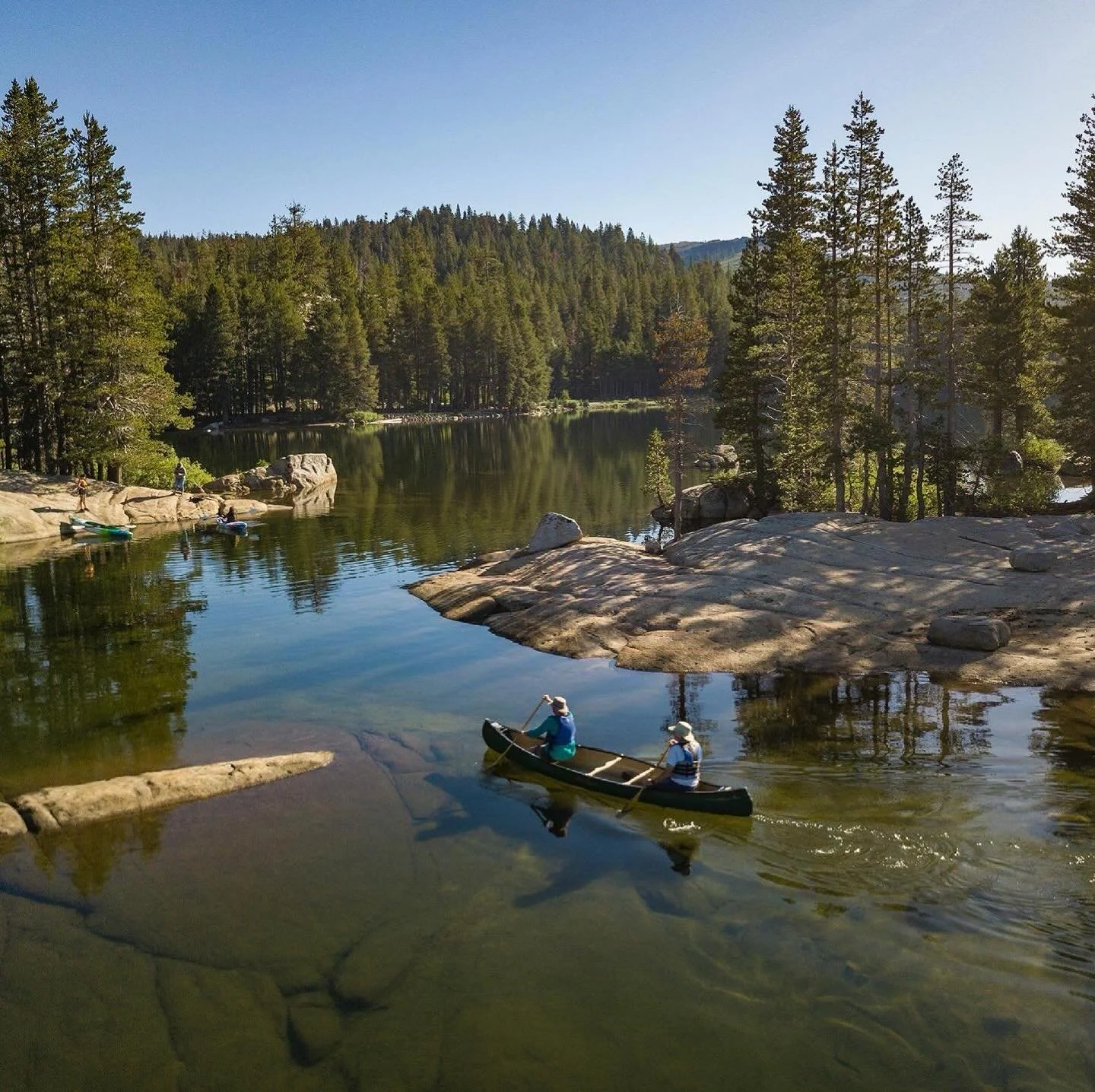
Here the ski trail is right next to the creek flowing into the Meadow, providing a habitat for birds and other wildlife. In the Spring, Canada Geese congregate near the creek and anywhere else a few strips of grass emerge from the snowbanks. In summer the creek provided a steady flush of fresh water for the Wa She Shu to remove the bitter tannic acid from acorn flour. Maybe that’s why there are many grinding holes in rock surfaces surrounding the meadow. Today the cattle grazing in Summer enjoy Bloods Creek and skiers and snowshoers enjoy scenic views down the creek in Winter. What would the meadow be without Blood’s Creek?
STATION D: THE MEADOW
Underneath the snow are meadow soils and seasonal plants. The tubing and sledding hills on the north side of Blood’s Creek are on granitic rock ridges. In the spring and summer there are wet areas and small ponds in the upper meadow are near the sledding hills and near the Highway. Blood’s Creek flows through on its way to the Stanislaus River and cattle peacefully graze. Was there always a meadow here? During the Ice Ages the Sierra Nevada Mountains were covered by a mountain icecap. When the ice melted about 16,000 years ago, there was no soil, just meltwater, glacially polished granitic bedrock and gravel from streams under the ice. Soil began to form from breakdown of the minerals in the rock and from sediments washed in by running water. Plants and trees began to grow and added organic material to the soil. The forest has been gradually filling in the edges of the meadow. Hundreds or thousands of years from now there may be no meadow anymore.
STATION E: TREES
During windy snowstorms skiers and snowshoers are really happy tucked away in the shelter of the trees on Blood’s Creek and other forested trails. The Upper Montane forest here is mostly Lodgepole Pines with Red Fir with a sprinkling of Aspens. The Lodgepole is found all the way up into the higher Subalpine forest in the Sierra. Lodgepole is commonly called Tamarack. There are several places and land features in the Sierra Nevada named Tamarack, and one is just down the Highway at the west end of the trail system. The true Tamarack of the eastern United States is really a larch. Adventurous intermediate skiers pass through big Aspens on the (you guessed it) Aspen Forest trail and in Walden Meadow, also good trails during storms. There are no leaves on the trees during Winter and Spring, but you may notice scratch marks from bears on the trunks. The gnarled Sierra Junipers look down on the Meadow from high elevation ridges.
STATION F: SNOW & ICE
Take a moment to reflect on the snow beneath your skis or snowshoes. How did it become glacial ice? Glaciers begin to form when snow remains in the same place year round, like north- and east-facing bowls and depressions beneath ridges. Each year, new layers of snow bury and compress the older layers, eventually the compression forces the snow to recrystallize, forming similar in size and shape to sugar grains. The grains gradually grow larger and the air spaces between the grains get smaller, causing density to increase. After at least a year, the now turns into an intermediate material called firn. Over time, larger ice crystals become so compressed that the air pockets between them are very small. In very old glacial ice, the crystals can increase to the size of a human fist. It can take one hundred years to form glacial ice. There are a few small glaciers at the highest altitudes of the Sierra Nevada, shrinking in size as the climate warms.
STATION G: BLOOD’S RIDGE
Looking north, you can see the layers of volcanic rocks that form distinctive flat-topped ridges and castle turrets on top of the much older granitic rocks like the layers of a cake. The volcanics were erupted about 9 million years old from a source east near Ebbetts Pass flowing west into lower areas and canyons. What might be harder to visualize is the gradual downward erosion of the entire area surrounding the remaining vocanics, leaving the more resistant volcanic ridges protecting the granitics. What was once low is now high. There are also small areas within the volcanics deposited by running water. In one area along the Mt. Reba jeep road, leaf fossils and petrified wood are found: Cypress, Douglas fir, Live Oak, Giant Sequoia, Western Yellow Pine, Juniper and Willow.
STATION H: WASHOE TRIBE
They were here before us and according to their traditions, were in the Da ow aga (Lake Tahoe) area from the beginning. Their ancestral territory was bordered on the west by the forested Sierra Nevada Mountains and on the east by the arid Pine Nut and Virginia Mountains in the Great Basin of western Nevada, north to Honey Lake and south to Sonora Pass. Their language is unrelated to the neighboring Paiute, Shoshone in the east and Maidu and Miwok to the west. The southern of the three regional groups, the Hung a lel ti, camped in Bear Valley in summer on their way west to trade the obsidian (natural glass) used for arrowheads for the acorns gathered by the Miwok people. They made round holes for grinding acorns into flour that are on the rock surfaces near the sledding and tubing hills, on Indian Rock Trail and at many places around Bear Valley village. The flour was contained in closely woven willlow baskets set in creeks to wash out the bitter tanins. They still live near Woodfords and further northeast in Nevada. Did you know that the Wa She Shu made snowshoes by bending branches into a circle and attaching cross strips of deerskin? John Fremont, the army officer leading an 1844 government survey expedition struggling through the snow was impressed by their skill with snowshoes and long poles.
STATION I: BIRDS
Common Ravens are always gliding through the trees and over the Meadow, even in Winter. When the snow starts melting in Spring, Canada Geese are along Bear and Bloods Creeks, or near the Highway, anywhere grass is available. Steller’s Jays arrive and start squawking. Hairy Woodpeckers and Williamson’s Sapsuckers are tap-tap-taping on the trees, providing nesting cavities for wildlife, keeping insect populations down and hastening decomposition of dead trees (and sometimes damaging houses). You may see Mountain Chickadees and Dark-Eyed Juncos and American Robins. Ospreys nest on the cliffs and hunt fish from nearby lakes. You may see a Northern or American Goshawk or even a Bald Eagle. In the wind and snow of Winter the birds hiding, trying to stay warm. When the sun comes out so do the birds. The warmth of spring brings both migrating and native birds an is a great time for skiing and birding!